

Map
位置精度
正確
Description
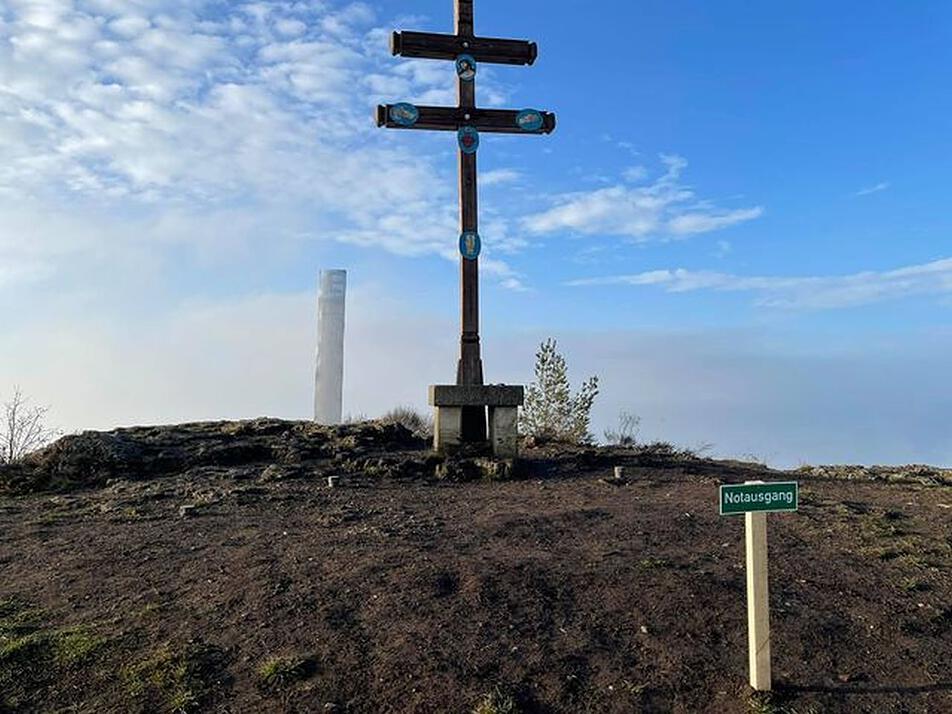
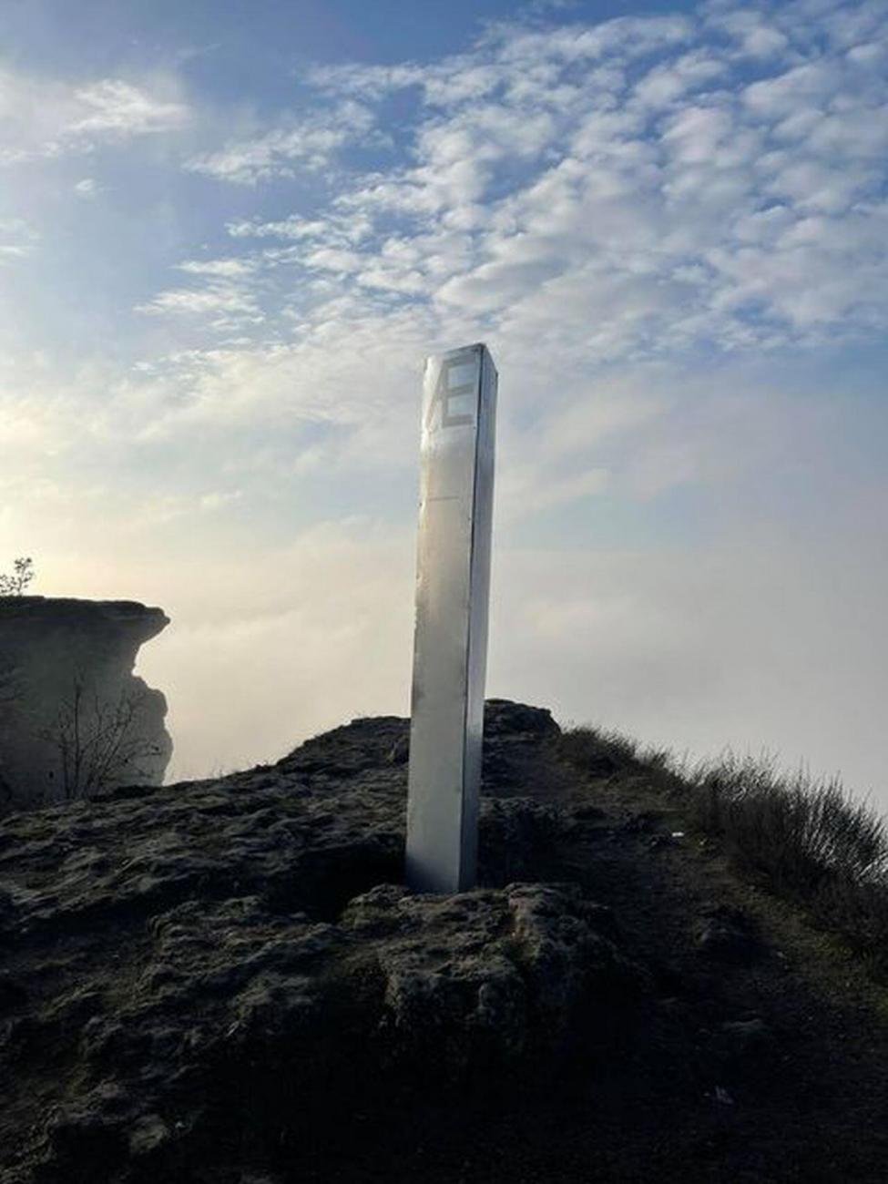
モノリスは2020年12月16日にバートシュタッフェルシュタイン近くのシュタッフェルベルクに現れました。
Notes
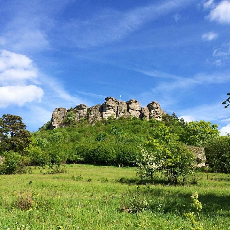
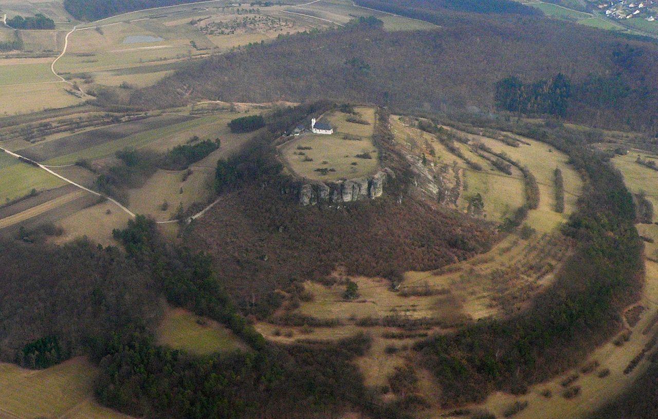
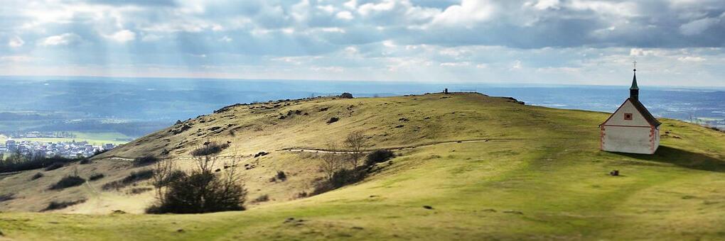
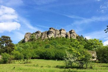
The town of Staffelberg is 539 meters above sea level. NHN high Zeugenberg in front of the Franconian Alb in the so-called God's Garden on the Upper Main. It is the local mountain of Bad Staffelstein in the Upper Franconian district of Lichtenfels. The name of the elevation is derived from the distinctive terrain levels ("seasons"), which give an insightful insight into the geological history of the Jurassic period. From the Neolithic Age (around 5000 BC) to the Roman Empire (around 350 to 420 AD), the mountain was populated several times. During the La Tène period, the Celtic oppidum Menosgada was on the high plateau of the Staffelberg. Today the Staffelbergklause with beer garden and the Adelgundis Chapel, built in 1653, are located there.
https://de.wikipedia.org/wiki/Staffelberg
“The name of the elevation is derived from the distinctive terrain levels ("seasons"), which give an insightful insight into the geological history of the Jurassic period. From the Neolithic Age (around 5000 BC) to the Roman Empire (around 350 to 420 AD), the mountain was populated several times.”
The above statement may not be entirely correct.
In fact, the name may actually stem from the very old tribe or family with the surname “Staffel” who may have occupied this area. Surviving records reference the Staffel family as the “very old family” or “ancient tribe” and is believed to be one of the few tribes actually originating in the forest behind Staffel mountain.
Dates & Classification
発見された日付
分類
疑わしいモノリス。ノックオフであることが確認されていませんが、モノリスの起源または外観を考慮している可能性があります。
複数のモノリス
✖
Physical Qualities
材料
ジェネリックメタル
建設
リベット留め
辺の数
4つの側面(長方形または正方形)
テクスチャ
その他
トップジオメトリ
平らな
高さ
3.00メートル
マーキング
テキスト
Articles & Media
